April 2, 2026 News


Between 1943 and summer of 1944, around 22.500 men, women and children were deported from the Bobigny station, making this site one of the most important sites of the deportation of French Jews during the second world war. After the war, the site was turned into a steel scrap yard and stayed in use until the mid 2000’s. Paradoxically, the industrial activity is what has protected the site for decades and allowed it to survive major urban transformations and evolutions. The Bobigny station is one of the only deportation places in France that was preserved after the second world war.


Landscape will become a unifying element of the development, combining an urban vibrancy and innovative spirit with the qualities of rural living as the base for a spontaneous communal life with programming for all ages, local food production, outdoor living, health and well-being. The outline masterplan sets the direction for the development of a unique sustainable “21st century Oxfordshire village” that is not only well-embedded into its context, but also provides an exceptional environment to live, work, learn and play.


Various aspects of the site, including geology, topography, ecology, history, and social needs, were meticulously examined in relation to each other. From that, three pillars formed the foundation of the plan: a green framework, ecological setting; a resilient, natural water system; and an inclusive public realm that intentionally fosters community-making.


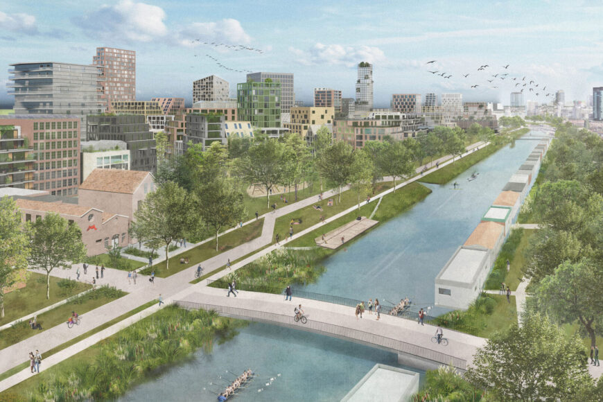
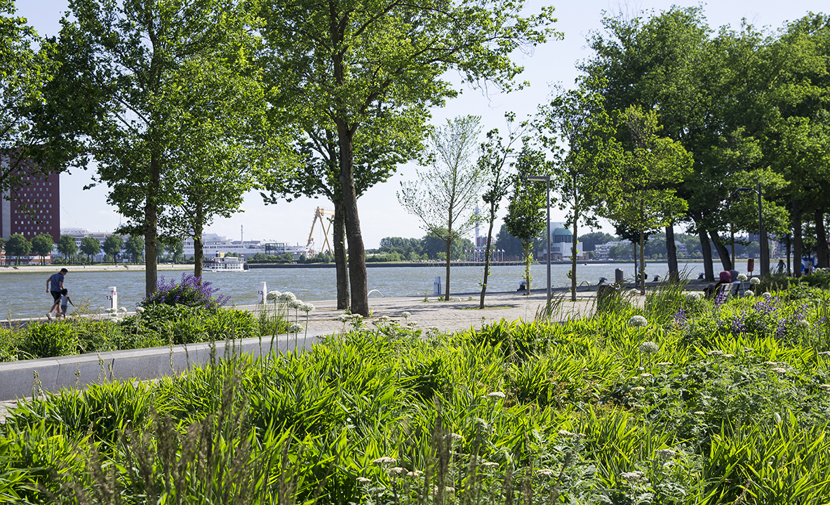
The interconnected green framework that permeates the masterplan not only serves an ecological purpose, but also acts as a versatile spatial connector across all scales. A wide and diverse perimeter of park spaces offers recreational opportunities and respite for both wildlife and residents. This vast green space incorporates the existing Rowel Brook and the Oxford Canal as well as a new local nature reserve and nature conservation area to strengthen its role in the regional nature recovery network, while also providing a community farm that combines local food production with community building. The green presence extends into the development through three green arteries, providing essential social and active open spaces combined with natural water management, biodiversity connectivity and uninterrupted active mobility routes for each neighbourhood. Within the neighbourhoods, the landscape identity is carried through in lush boulevards and living streets, aiding intuitive way-finding and placemaking and encouraging year-round outdoor enjoyment and social interaction.

The masterplan integrates a natural drainage system at all levels; source, pathway and receptor. The green arteries are based on existing topography and natural drainage patterns to allow a series of rain gardens and swales to become the main drainage spines of the development. Feeding into this system, a finer grain of sustainable drainage features within roads, parks and play areas focusses on the collection, retention, infiltration, purification and reuse of stormwater close to its source. This establishes an integrated, climate-adaptive water system that can respond to extreme weather conditions. Even during extreme rainfall, there is no surplus water flow to the downstream surrounding brooks.

The social structure is closely intertwined with the green framework. Public realm plays an important role for community building and is where ideas are exchanged, and relationships are built.


To facilitate the mix of different land uses and existing and new communities, inviting and inclusive public spaces are integrated at different scales. The Farmstead is envisioned to become the lively heart of the district with (cultural) amenities sprawling from the existing Jacobean Farmhouse whilst the Central Park could offer multifunctional space for gatherings, sports and events in a green setting. In addition to a diverse range of programmed spaces, the public realm is designed to provide ample opportunity for appropriation, initiative, and cooperation: social life will not be orchestrated but rather permitted to evolve and thrive organically.


Throughout the development, active travel is prioritised and car movement is limited in order to create better streets. Living streets with green space, trees and swales are designed to encourage meeting and playing and discourage all but essential vehicular use. Consolidated parking facilities and multi-modal hubs are strategically placed to capture motorised traffic early on, creating appealing car-light living environments.